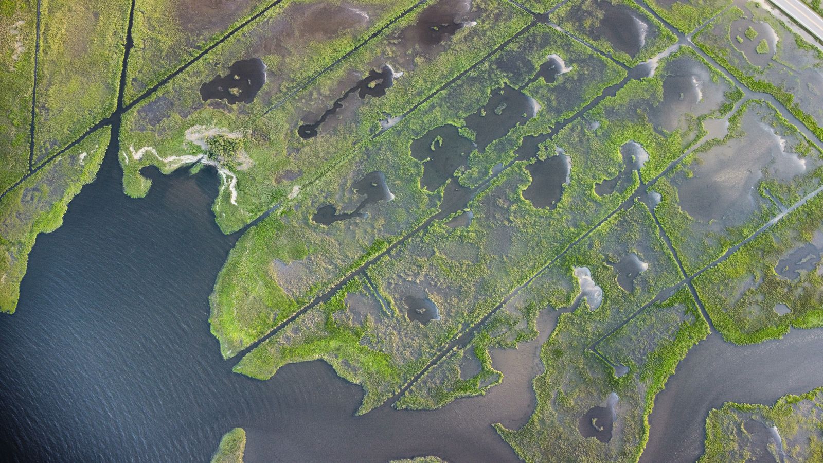
Indonesia is the nation, and oxygen is the mechanism. When drainage canals lower the water table, air enters organic soil that may have remained waterlogged for thousands of years, allowing microbes to convert stored carbon into carbon dioxide year after year. The IPCC reports average emissions of around 40 tonnes of CO₂ per hectare per year from drained peat under oil palm and around 73 tonnes under acacia. By July 2026, Indonesia’s environment ministry was reporting more than 43,000 canal blocks across concession, community, forest and buffer areas.
Tropical peat is not ordinary soil. It is a deep accumulation of leaves, roots and wood that did not fully decompose because the ground remained saturated and oxygen-poor. In places, that accumulation began near the start of the Holocene and continued slowly enough for several metres of carbon-rich material to build beneath the forest.
The damage is both immediate and prolonged. A 2026 Nature Communications study of Central Kalimantan estimated that drainage and subsequent fires released 30 to 41 kilograms of carbon per square metre between 1996 and 2014. Drainage accounted for 5 to 11 kilograms, fires for 23 to 32 kilograms, and continuing decomposition across Indonesia’s disturbed peatlands was estimated to be releasing another 0.03 to 0.08 gigatonnes of carbon annually.
The comparison is about time, not one universal ratio
The original claim that one drained hectare necessarily releases more carbon every year than one hectare of burning rainforest is too broad. Emissions from drained peat vary with land use, water-table depth, temperature and vegetation. Emissions from forest fires also vary enormously with biomass, moisture, fire intensity and how much of the available fuel actually burns.
In one measured Amazonian clearing fire, a hectare of burned forest released about 117,000 kilograms of CO₂. That is considerably more than the annual drainage emissions measured at many peatland sites, although it arrives as a concentrated pulse rather than a recurring yearly flow.
The cumulative comparison is more defensible. A drained Central Kalimantan forest studied over two decades produced approximately 15 tonnes of additional CO₂ per hectare per year. Maintained for 20 years, that is roughly 300 tonnes per hectare, enough to overtake the measured emissions from many individual forest-clearing fires.
A forest fire is not perfectly bounded once its flames disappear. Dead vegetation may continue decomposing, soils may lose carbon and damaged forest may take years to recover. The sharper distinction is that deep peat drainage exposes an existing underground carbon deposit to continuous oxidation, while fire emissions depend on how much material burns during a particular event.
How a canal turns peat into a carbon source
A drainage canal cuts through the peat and gives water a lower route out of the landscape. The effect spreads laterally beyond the canal banks. As the water table falls, pores that once held water begin holding air, and aerobic microbes gain access to organic matter that anoxic conditions had preserved.
Long-term measurements show how sensitive the system is. A 2024 study of Southeast Asian peat-swamp forests found that every 10-centimetre decrease in mean annual groundwater level increased net annual CO₂ emissions by about 6.3 tonnes per hectare. At one severely drained site, the net effect of canal drainage averaged 15.2 tonnes of additional CO₂ per hectare per year over 20 years.
The surface also sinks, but subsidence is not a perfect carbon meter. Oxidation removes peat mass, while compaction, consolidation, changing water content and losses of dissolved organic carbon can also alter surface elevation. Describing every centimetre of subsidence as carbon simply floating away as gas overstates what the measurement alone can prove.
Drainage also prepares peat for fire. Dry peat can smoulder below the surface, moving through cracks and root channels long after visible flames have passed. A vegetation fire therefore becomes capable of consuming the ground itself, joining a sudden fire pulse to the slower emissions already produced by drainage.
The project that cut through a million hectares
One of Indonesia’s most consequential drainage schemes began under President Suharto in 1995. The Mega Rice Project was intended to turn roughly one million hectares of Central Kalimantan into rice-producing land. Construction carried out mainly between 1996 and 1998 left the landscape with more than 4,000 kilometres of drainage canals.
The industrial rice landscape never emerged at the promised scale. Peat soils were acidic, nutrient-poor and difficult to cultivate after drainage, while the altered hydrology made the remaining forest increasingly vulnerable to drought and fire. The project was abandoned, but the channels continued carrying water out of the peat.
The Mega Rice Project did not create Indonesia’s entire peat problem. Logging canals, oil-palm development and pulpwood plantations produced other drainage networks across Kalimantan and Sumatra. It did, however, leave one of the clearest examples of how an engineering intervention could change the behaviour of an ecosystem long after the original development plan had failed.
The consequences became visible from space during the 2015 fire crisis. According to a World Resources Institute analysis, estimated daily emissions from Indonesia’s fires exceeded the average daily emissions of the entire United States economy on 26 days. Much of the smoke came from landscapes where drainage had made peat combustible.
In January 2016, Indonesia established the Peatland Restoration Agency, known as BRG. The founding regulation gave it a five-year mandate to plan and implement restoration across approximately two million hectares. Its approach was commonly described through three connected tasks: rewetting peat, restoring vegetation and supporting livelihoods that did not require renewed drainage.
What a canal block can and cannot do
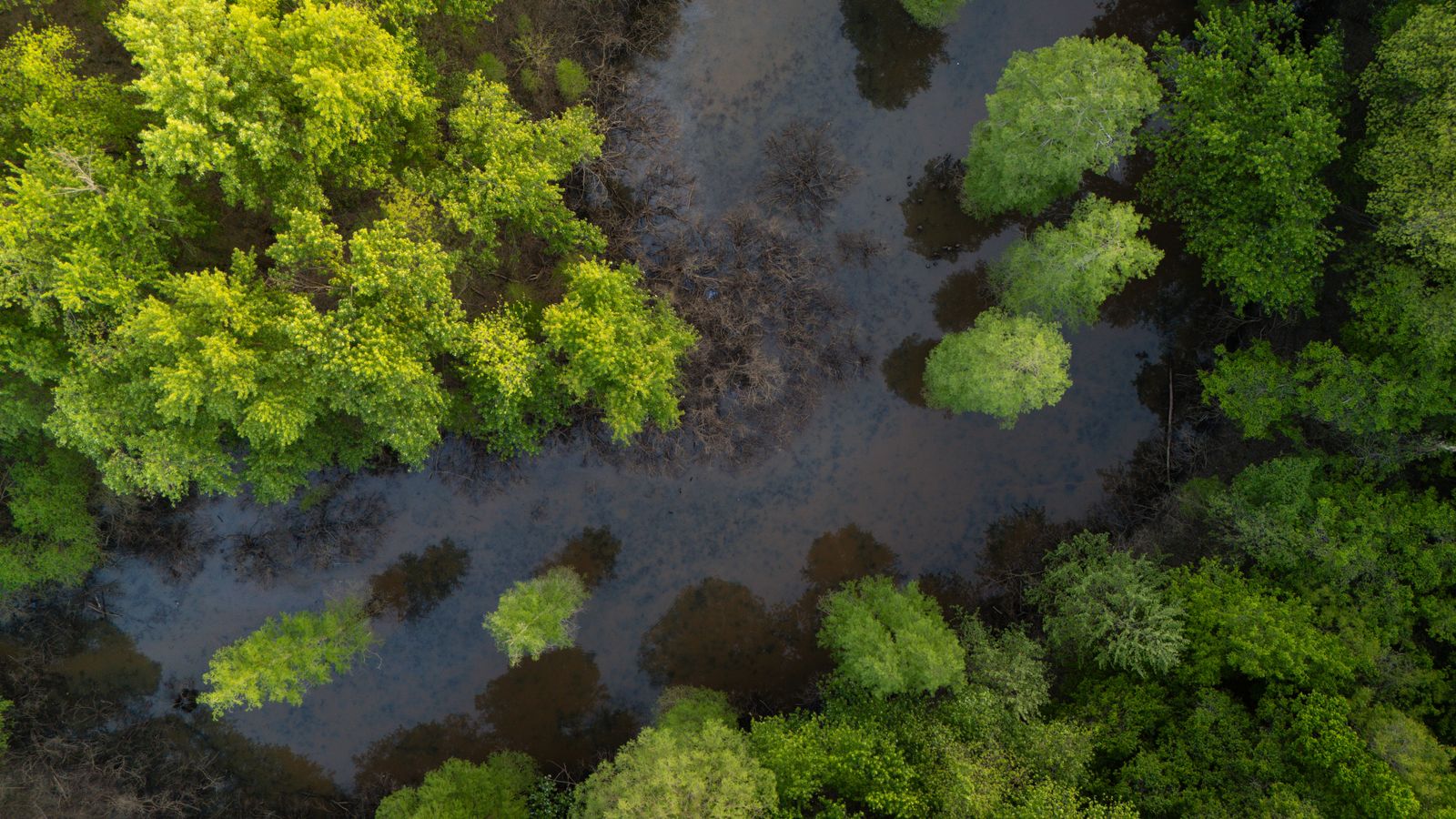
A canal block is usually a small dam rather than a monumental structure. Builders use compacted peat or mineral soil, timber, sheet piling, sandbags or combinations of those materials. A series of blocks divides a sloping canal into stepped pools, slowing the outward flow of water and raising water levels in the surrounding peat.
The scale now extends far beyond the early restoration programme. In a July 10, 2026 update, Indonesia’s environment ministry reported 34,989 canal blocks in peatlands managed by 314 companies. It reported another 8,857 in community areas, forests and buffer zones, with 17,394 additional units considered necessary.
Field results indicate that successful rewetting can slow the loss. In one large-scale restoration trial, subsidence in the most effectively rewetted former plantation fell to around 1.5 centimetres per year. The researchers estimated that the observed reduction represented approximately 6.4 to 23.6 megagrams per hectare per year in avoided carbon emissions.
A block does not guarantee restoration simply because water gathers behind it. Its effect depends on the dimensions of the canal, the shape of the peat dome, rainfall, drought, nearby roads and drainage maintained outside the intervention area. Rewetting can also increase methane emissions, although it reduces the continuing oxidation of peat and makes severe fire less likely.
Nor does the lost peat rapidly return. Rewetting is primarily an act of preservation: it protects what remains. Vegetation can recover over decades, but rebuilding metres of peat requires centuries or millennia of waterlogged plant accumulation.
A global store with an Indonesian warning
Indonesia holds an immense tropical peat carbon stock, but it does not contain the world’s largest single tropical peatland complex. That distinction belongs to the Cuvette Centrale in the Congo Basin. Researchers have estimated that it covers approximately 145,500 square kilometres and stores about 30.6 billion tonnes of carbon.
The Indonesian experience matters because it shows what can happen when roads, plantations and canals reach a peat landscape before its carbon has been fully mapped. A wet swamp can appear inert from the surface while holding a store accumulated across thousands of years. Once drained, its emissions continue without the spectacle normally associated with a major industrial source.
That slow release belongs in the same carbon conversation as the technologies used to replace fossil generation. Nuclear Power Daily has examined proposals for converting retired coal sites to nuclear generation and the potential contribution of small modular reactors to industrial decarbonisation. Those approaches aim to prevent new fossil carbon from entering the atmosphere; peat rewetting aims to close a land-based leak that has already been opened.
In Central Kalimantan, the intervention may be no more elaborate than timber driven across a narrow channel. Water gathers on one side, darkens the roots at the bank and begins spreading back through the peat. Beneath it, material laid down before the first cities existed is once again beyond the easy reach of oxygen.