
A fair-weather cumulus cloud — the kind that drifts across a July sky looking like spilled cotton wool — weighs about 500 tonnes. That is roughly the combined mass of 100 African elephants suspended a kilometre above your head, held there by nothing more exotic than a temperature difference between the air inside the cloud and the air below it.
The number sounds absurd. It is not. A typical small cumulus is about a kilometre on each side, and each cubic metre of it carries around half a gram of liquid water in the form of droplets so tiny that a million of them would fit on a fingernail. Multiply half a gram by a billion cubic metres and the arithmetic lands on half a million kilograms of water. That is before you count the air itself, which is heavier still.

The weight nobody feels
The reason a cloud stays airborne while a raindrop falls is not that clouds are weightless. It is that the water inside a cumulus is divided into droplets between 10 and 20 micrometres across, small enough that the drag of the surrounding air almost exactly cancels out gravity. A droplet that size falls at about a centimetre per second — slower than the updrafts pushing the cloud upward on a warm afternoon.
Meteorologists describe this in terms of terminal velocity meeting buoyancy. The parcel of air carrying the droplets is warmer than the surrounding atmosphere, because it rose from the sun-heated ground and expanded as pressure dropped with altitude. Warmer air is less dense. The cooler, heavier air beneath it presses up, and the whole freighted parcel sits on that cushion the way an ice cube sits on water.
When the droplets grow — through collision, coalescence, or the accretion of ice crystals — the arithmetic flips. Fall speed outruns updraft. The cloud rains itself thinner, and what stayed aloft as vapour and mist arrives at the ground as something you need an umbrella for.
Where the 500-tonne figure comes from
The calculation is standard atmospheric physics, and the working is unglamorous. Take a cumulus a kilometre on a side. Its volume is a billion cubic metres. Measurements of liquid water content in fair-weather cumulus, gathered by decades of aircraft flights through them, cluster around 0.5 grams per cubic metre. The product is 500,000 kilograms — half a million kilos of suspended water, spread thin enough to look like a solid white shape from below.
A large African bull elephant weighs around five tonnes. A hundred of those animals stacked into a single kilometre-wide box gives you the working comparison, and it is the comparison that most atmospheric scientists use in classrooms because it makes the abstract vivid. Five-tonne animals. One hundred of them. Suspended in air.
Storm clouds are heavier by orders of magnitude. A mature cumulonimbus can hold a million tonnes of water or more, which is the mass of roughly 200,000 elephants, or a fully loaded oil supertanker, hanging above a picnic.
Why warm air rises in the first place
The physics of buoyancy is old — Archimedes worked out the principle in the third century BCE — but the atmospheric version has a twist. Air heated at ground level expands, becomes less dense than the air above it, and rises. As it rises, atmospheric pressure drops, so it expands further and cools. That cooling is what forms the cloud: the parcel eventually reaches its dew point, the temperature at which water vapour condenses onto microscopic particles of dust, salt or pollen.
Meteorologists at WVLT in Knoxville describe the same process at ground level, where it produces fog. The only difference between fog and a cloud is altitude. Fog is a cloud you can walk through, and if you have ever done so on a cold morning, you have walked through several tonnes of suspended water without noticing the weight.
Condensation itself releases heat — the latent heat locked into water vapour when it evaporated at the surface hours earlier. That released heat keeps the rising parcel warmer than its surroundings, which keeps it rising. A cumulus cloud is, in a sense, a visible record of an ongoing thermal engine.
The droplets are astonishingly small
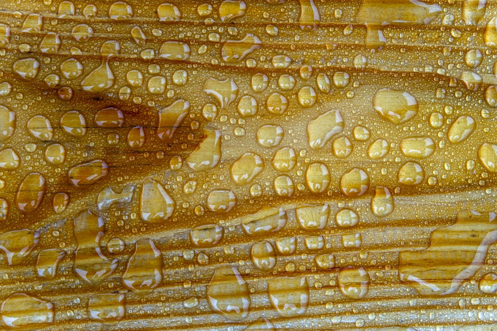
A cloud droplet at 10 micrometres across is about one-tenth the width of a human hair. It contains roughly a trillionth of a litre of water. To become a raindrop, it needs to grow by a factor of about 100 in radius, which is a factor of a million in volume. That growth happens through two mechanisms: collision-coalescence in warmer clouds, where droplets bump into each other and merge, and the Bergeron process in colder clouds, where ice crystals grow at the expense of nearby liquid droplets because water vapour prefers to deposit on ice.
A benign-looking cumulus can build vertically into a cumulonimbus once updrafts strengthen. The base of the cloud may sit at 1,000 metres. The top, in a serious storm, can punch through 12,000 metres — higher than a cruising airliner.
Inside those towering clouds, updrafts can hit 30 metres per second. That is fast enough to keep hailstones the size of grapes suspended for minutes at a time, coating them in layer after layer of ice until they finally fall.
Clouds carry more than water
The droplets in a cloud need something to condense onto. Pure water vapour, in perfectly clean air, will not form a droplet even at 100% humidity — the physics of surface tension makes it too difficult. What clouds actually need is a nucleus: a fleck of sea salt from an ocean wave, a grain of desert dust, a soot particle from a wildfire, a pollen grain, sometimes even a bacterium.
This is why Saharan dust storms can travel thousands of kilometres and colour the sky over Europe. The BBC Weather’s coverage of ‘blood rain’ events across the UK describes exactly this: dust lifted from North Africa, carried aloft, seeded into raindrops, and deposited as reddish streaks on cars and windows. Every raindrop that lands has a tiny particle at its core.
That means the 500 tonnes of water in a cumulus is also carrying a much smaller but non-trivial mass of dust, salt and biological material. On any given day, the atmosphere holds roughly 13,000 cubic kilometres of water in cloud form — a global figure that fluctuates with weather but stays remarkably steady on average.
The comparison that makes it stick
Five hundred tonnes is the mass of a fully loaded Boeing 747 at takeoff. It is roughly the weight of the arch at Wembley Stadium. It is more than the entire Apollo 11 stack weighed at liftoff without its fuel. And it is drifting overhead on a June afternoon, held up by a temperature gradient of perhaps two or three degrees Celsius between the cloud’s interior and the surrounding sky.
The elephant comparison works because elephants are the largest land animals most people can picture. A hundred of them, herded into an imaginary paddock a kilometre across, is roughly the biomass of a small cumulus. Scale it up to the anvil-topped thunderheads of a Midwestern summer and the paddock has to hold hundreds of thousands.
None of this is unusual. It is the ordinary condition of the sky. The Earth’s atmosphere is doing this everywhere, all the time, redistributing water from ocean to land through evaporation, condensation and precipitation. The global water cycle moves an estimated 500,000 cubic kilometres of water per year — a figure tracked since the 1970s.
When the balance breaks
A cloud stays aloft only as long as the temperature difference holds and the droplets stay small. Cool the parcel down — by mixing with drier air, or by lifting it into a colder layer where it can no longer expand fast enough — and the droplets coalesce. Once the average droplet reaches about 100 micrometres, gravity wins. That is when a cloud becomes rain.
The transition is often visible from the ground. A cumulus that has stood over a hillside for an hour, sharp-edged and white, will suddenly develop a ragged grey base. Within minutes it is precipitating. The 500 tonnes of suspended water is on its way down, delivered as a shower that soaks a field and leaves the sky lighter, thinner, emptier.
Then the ground warms again. Another parcel rises. Another cloud forms. The engine restarts.
The next time a cumulus drifts overhead, look at it and think about the arithmetic. Not weightless. Not solid. A hundred elephants of water, held up by warm air and the geometry of very small droplets, on their way — eventually — to becoming a puddle somewhere downwind.