Researchers have successfully modeled an ancient "superhighway" system in Australia that shows how Aboriginal tribes were able to migrate across the land, according to two studies published Thursday in Nature Communications.
In the first study, scientists have created computer simulation models testing more than 125 billion possible paths of motion.
Professor Corey Bradshaw, CABAH Chief Investigator at Flinders University, said researchers found indigenous Australians were incredibly well-organized and capable groups of people.
"Guided by Indigenous knowledge, we are coming to appreciate the complexity, prowess, capacity and resilience of the ancestors of Indigenous people in Australia," Bradshaw said.
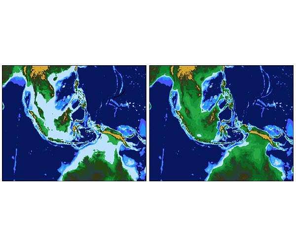
A map of the road system that developed over migratory patterns of tens of thousands of years shows a large loop around Australia's perimeter crossing over current day settlements of Melbourne, Brisbane and Perth.
An inner passageway allowed for access from near current day Adelaide to Broome.
At the time New Guinea was attached to Australia to form a continent called Sahul. Over 6.5 million Aboriginal people called Sahul home, researchers estimate.
Academics will be able to use the model to assist on several other studies, including survival and fertility rates based on anthropological and ecological data on the population at the time, according to the researchers.
"This modeling established the infrastructure for detailed local and regional studies to engage respectfully with Indigenous knowledge, ethnographies, historical records, oral histories, and archives," said Professor Lynette Russell, CABAH Deputy Director and co-chair of its Indigenous Advisory Committee.
The model was undertaken by an international team of archaeologists, anthropologists, geographers, environmentalists, geneticists, geologists and computer scientists.
Archaeologist and computer scientist Stephanie Crabtree, who authored the second study, said it is likely indigenous people oriented themselves on the highest points of land.
This method made it easier to locate water and suitable spots for camping. And from there, researchers said, they determined the most likely pathways.
Some of the identified superhighways show the movements of the trade at that time of pituri native tobacco from Cape York to South Australia via Birdsville, and the trade of Kimberley baler shell into central Australia.
"In many Aboriginal societies, landscape features are believed to have been created by ancestral beings during the Dreaming," said Distinguished Professor Sean Ulm from James Cook University, who also serves as CABAH Deputy Director.
"Every ridgeline, hill, river, beach and water source is named, storied and inscribed into the very fabric of societies, emphasizing the intimate relationship between people and place," Ulm said.
