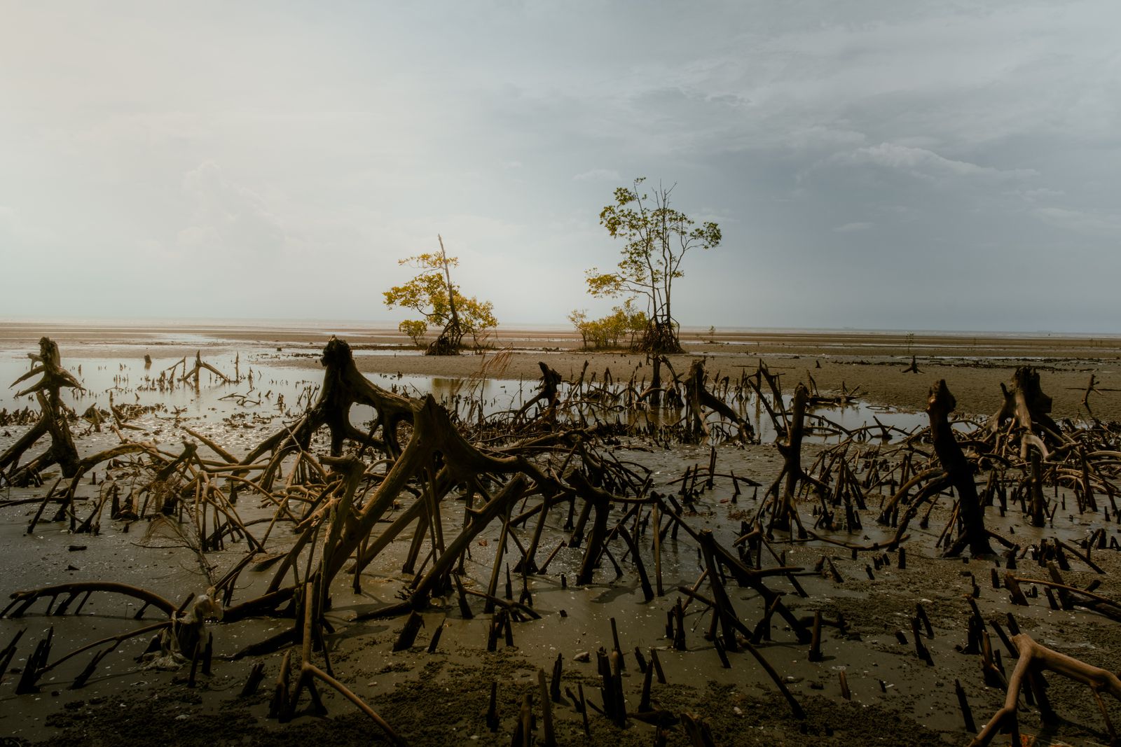
The forest is mangrove, the delta nation is Bangladesh, and the carbon trick lies mostly below the trees. Waterlogged, oxygen-poor soils slow decomposition and bury organic matter so efficiently that whole mangrove ecosystems are often described as holding three to five times as much carbon per hectare as tropical forests inland. Bangladesh began coastal mangrove afforestation in 1966, 25 years before the April 1991 cyclone that killed nearly 139,000 people.
The cyclone did not create the planting programme. The original logic was practical: stabilize newly deposited coastal land, reduce wave pressure on exposed shores, and reproduce some of the protection long provided by the natural Sundarbans.
Why most of the carbon is below the trees
A mangrove forest stores carbon in trunks, branches, leaves, roots, dead wood and soil. A landmark field study across 25 Indo-Pacific forests found an average whole-ecosystem stock of 1,023 metric tonnes of carbon per hectare, with organic soils accounting for 49% to 98% of the total. That is why a photograph of the canopy shows only a fraction of the carbon vault.
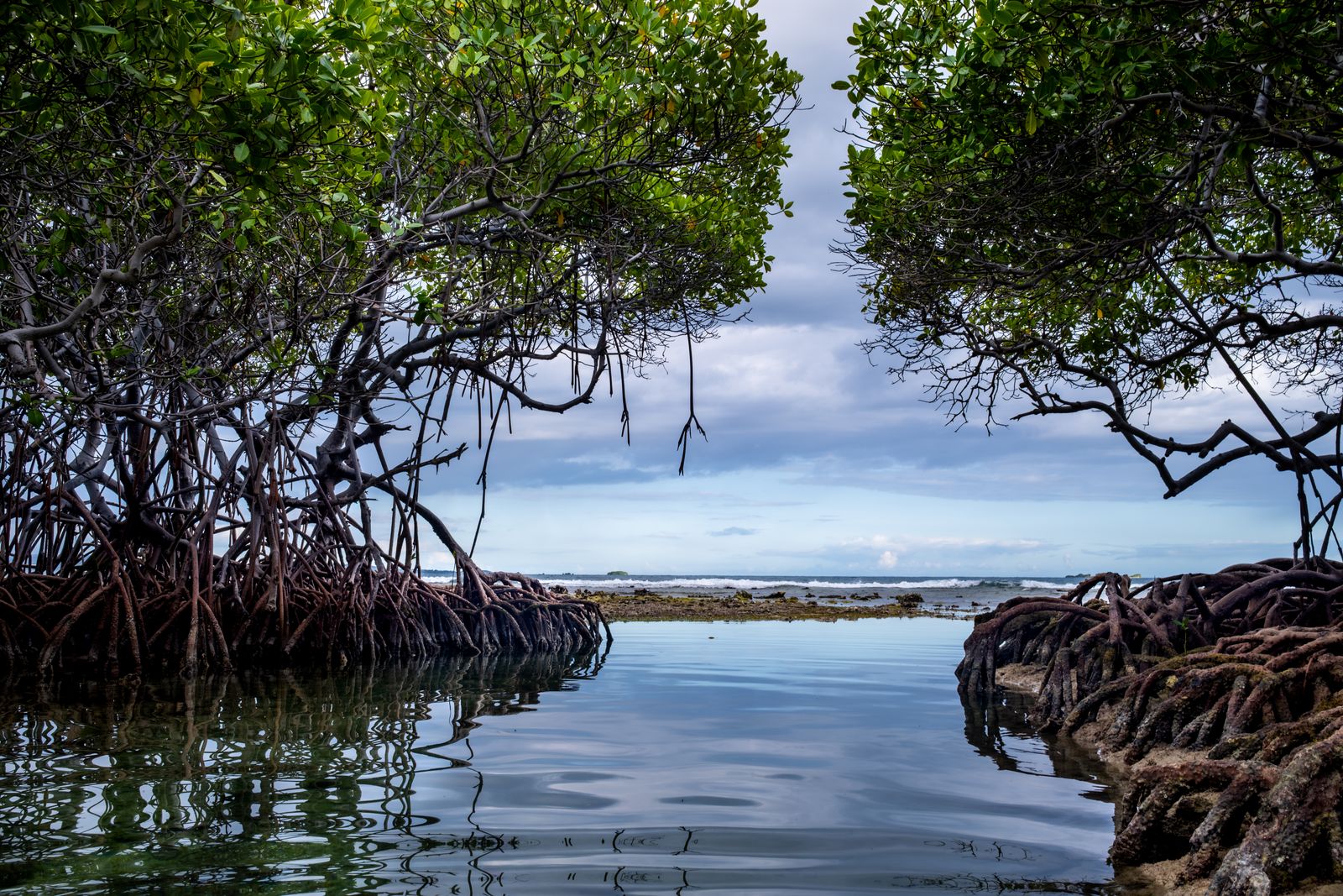
The roots change the physics of the shoreline. Incoming tides lose speed as water threads through prop roots and pneumatophores, allowing suspended silt, clay and organic particles to settle instead of washing back to sea. New sediment then buries old roots and leaf litter beneath another oxygen-poor layer.
Decomposition slows sharply once oxygen becomes scarce, although it does not stop. Microbes continue processing organic matter through other chemical pathways, but much of the buried carbon remains in the soil far longer than carbon held in leaves or small branches above ground. In deep, stable deposits, the archive can build for centuries or millennia.
Mangrove mud also catches carbon that was produced elsewhere. A 2026 study in China’s Zhangjiang Estuary measured black carbon concentrations of 0.95 to 1.67 grams per kilogram of soil and found that the more condensed forms were preferentially preserved at depth.
Why the three-to-five-times figure is not universal
The famous comparison is a range, not a biological constant. Results change with species, climate, salinity, sediment supply and the depth to which researchers sample the soil. They also change according to whether a mangrove is compared with old-growth rainforest, secondary forest or a disturbed inland site.
Depth matters most. A survey that stops at the top metre can miss carbon stored in deposits extending two or three metres below the surface, while a comparison based only on living biomass can make an inland forest appear much closer to a mangrove than a whole-ecosystem calculation does.
The wording matters too. Mangroves do not necessarily absorb carbon from the air three to five times faster every year; the larger claim concerns the stock accumulated per unit of land, much of it stored underground. Mixing annual sequestration rates with total ecosystem stocks turns a useful comparison into a misleading one.
Restoration can rebuild that store, but planting seedlings is not enough by itself. A global analysis of more than 370 restoration sites found that hydrology, position in the tidal zone, salinity and nutrient conditions strongly influence how much carbon returns. Re-establishing mangroves where they once grew generally performs better than forcing them onto unsuitable mudflats.
There is also a greenhouse-gas debit. A 2025 global analysis found that methane escaping through mangrove stems offset about 16.9% of sediment carbon burial, rising to about 27.5% when soil methane emissions were included. The forests remained net climate assets in the study, but the result makes clear that blue-carbon accounting cannot treat methane as zero.
Why Bangladesh began planting in 1966
Bangladesh sits at the seaward end of the Ganges-Brahmaputra-Meghna delta, where rivers continually build, move and erode low islands known as chars. Newly deposited land can be too unstable for permanent settlement or farming, yet it can support salt-tolerant pioneer trees. Planting mangroves gave the Forest Department a way to hold that sediment in place.
The natural model was already visible in the Sundarbans. Its dense channels, roots and forest floor slowed waves, trapped mud and protected land behind it, even though no forest can erase a major storm surge. The 1966 programme was therefore conceived as coastal stabilization and protection, not as a carbon-offset project.
Early plantations relied heavily on Sonneratia apetala, along with Avicennia officinalis, because the species can establish on exposed, newly accreted ground. A 1993 review reported that approximately 120,000 hectares had been planted by that stage, showing that the programme was already vast before the 1991 disaster entered the national memory.
The planted belts are not the same thing as the ancient Sundarbans, and monocultures can be vulnerable to pests, disease and poor site selection. The distinction matters because the natural forest itself can also be damaged by extreme storms, as happened when Cyclone Sidr tore through the Sundarbans in 2007.
What the 1991 cyclone actually changed
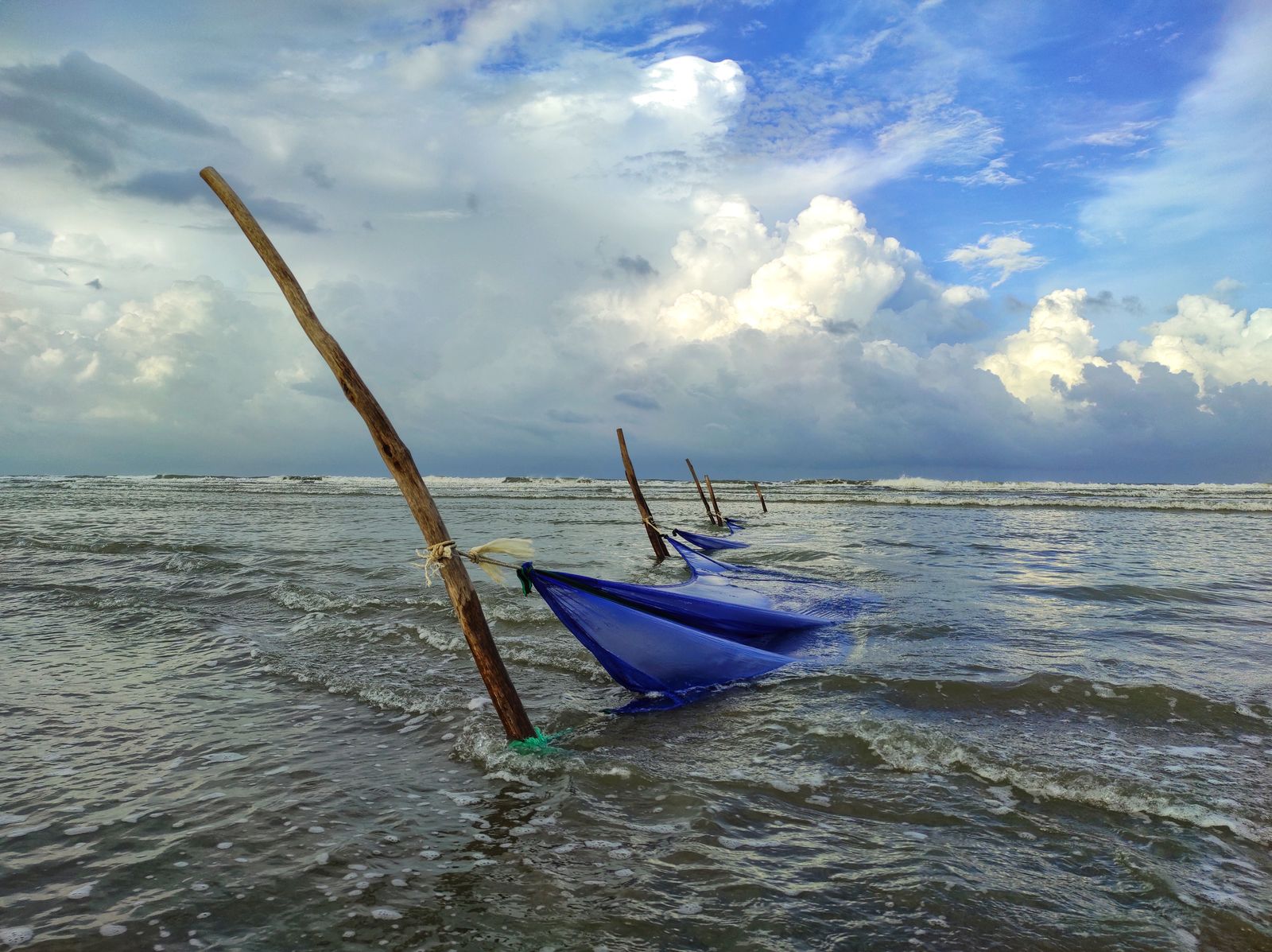
The cyclone struck southeastern Bangladesh on the night of 29 April 1991, driving a destructive surge across low-lying islands and the Chattogram coast. Winds were estimated at roughly 250 kilometres per hour near landfall, and the death toll approached 139,000. Drowning in the surge caused most of the deaths.
Its importance to the mangrove story is not that it suddenly persuaded Bangladesh to plant trees. It demonstrated, with terrible clarity, that coastal protection had to be layered: forests and mudflats near the water, embankments behind them, and warnings, evacuation routes and cyclone shelters for the people still exposed.
Bangladesh subsequently strengthened disaster preparedness and shelter networks, while coastal afforestation continued as one part of a much larger defence system. The decline in deaths during later cyclones cannot be credited to mangroves alone, because forecasting, volunteers, evacuation and raised shelters became central to survival.
Recent modelling for Bangladesh shows what the trees can and cannot do. Depending on forest width and local conditions, a mangrove belt can substantially reduce wave loads and stress on embankments, but its effect on the total surge level is much smaller. The forest works best as a living foreland in front of engineered protection, not as a substitute for it.
That layered approach remains visible whenever another Bay of Bengal storm approaches. During Cyclone Sitrang in 2022, for example, about a million people sought shelter before landfall, a response built around warnings and evacuation as much as shoreline vegetation.
What the roots do besides storing carbon
Mangroves survive waterlogged soil through specialized roots. Avicennia species send pencil-like pneumatophores into the air, while Rhizophora species use arching prop roots to support the trunk and exchange gases. Those structures also create a rough underwater maze that catches sediment and shelters juvenile fish and crustaceans.
The oxygen-poor mud supports microbes that remove reactive nitrogen from coastal water. A 2026 global analysis estimated that mangroves currently remove about 870,000 metric tonnes of nitrogen each year, an ecosystem service valued at roughly $8.7 billion annually.
That cleansing service is tied to the same sediment chemistry that preserves carbon. Denitrification and anaerobic ammonium oxidation convert reactive forms of nitrogen into gases, reducing the nutrient load that can otherwise feed oxygen-depleting algal blooms. The roots therefore alter both the physical coast and the chemistry of the water passing through it.
When mangroves are cleared, several services can disappear together. Stored soil carbon becomes vulnerable to oxidation and erosion, nursery habitat shrinks, and the shoreline loses some of its capacity to slow waves and retain sediment.
The limit is whether the forest can keep its footing
Sea-level rise does not produce one simple response. A 2026 modelling study found that some parts of a mangrove landscape may initially accumulate more sediment and carbon, while the forest as a whole can lose storage capacity if prolonged flooding kills trees and erosion strips away carbon-rich soil. The outcome depends heavily on sediment supply and the shape of the coast.
Mangroves can survive rising water by building their soil upward or moving inland. Dams and river engineering can reduce the sediment reaching a delta, while roads, farms and embankments can block landward migration. A forest trapped between rising water and a fixed barrier eventually runs out of room.
The Sundarbans still span roughly 10,000 square kilometres across Bangladesh and India, making them the world’s largest continuous mangrove system. Their future is tied not only to how fast the Bay of Bengal rises, but also to whether the delta keeps receiving enough silt, a wider problem explored in coverage of how rising oceans reshape lives far beyond the immediate shoreline.
A fresh soil core from beneath the roots looks black, wet and unremarkable, often threaded with fine roots and carrying the faint smell of sulphur. Yet that dark column is the answer to the title’s first question, while Bangladesh’s 1966 planting programme answers the second. The carbon stays because the mud remains buried, saturated and starved of oxygen, and the coast stays safer only while trees, sediment, embankments and human warning systems continue working together.