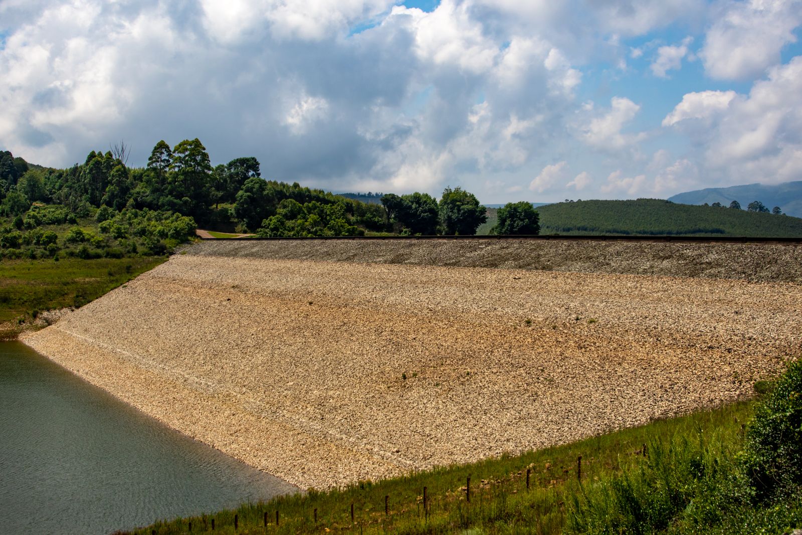
In August 2005, engineers in southern Kazakhstan closed the last gap in an eight-mile earthen barrier called the Kok-Aral Dam, sealing off the northern lobe of the Aral Sea from the vast salt flats to the south. Within a decade, fish catches from what is now called the Small Aral had climbed from about 400 tonnes a year to roughly 4,000 tonnes, and multiple species had returned to water that a generation earlier was too saline to support anything but brine-tolerant flounder.
The dam did one specific thing: it stopped water from the Syr Darya River from bleeding south into a dying seabed it could never refill. Held behind the dike, the river began ponding into a smaller basin. Salinity in the northern lobe fell from around 23 grams per litre toward the 10 grams per litre range — close to what the Aral held in 1960, before Soviet cotton engineers began the diversions that killed it. Fish followed the freshening water. So did the fishermen.
How a sea became a stain on the map
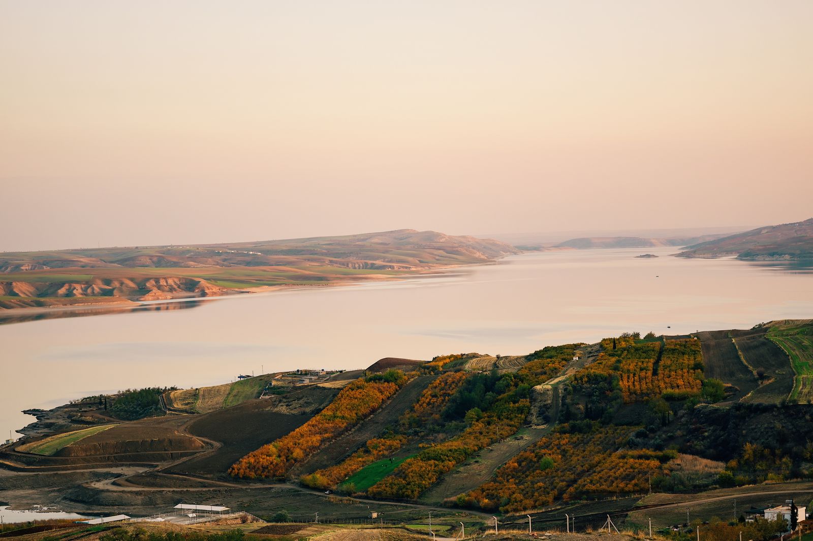
The Aral Sea was once among the largest lakes on Earth, spanning tens of thousands of square miles between Kazakhstan and Uzbekistan. Its name means “Island Sea,” for the archipelago that dotted its centre. Two rivers fed it: the Amu Darya from the south and the Syr Darya from the north, both draining snowmelt off the Pamir and Tien Shan mountains across roughly 2,500 kilometres of steppe and desert.
Beginning in the 1960s, Soviet planners tapped those rivers to irrigate cotton in Uzbekistan and Turkmenistan. The canals were unlined. Water sank into sand or evaporated off flat fields under a continental sun. The World Bank’s account of the project describes the sea’s dramatic shrinkage over the following decades.
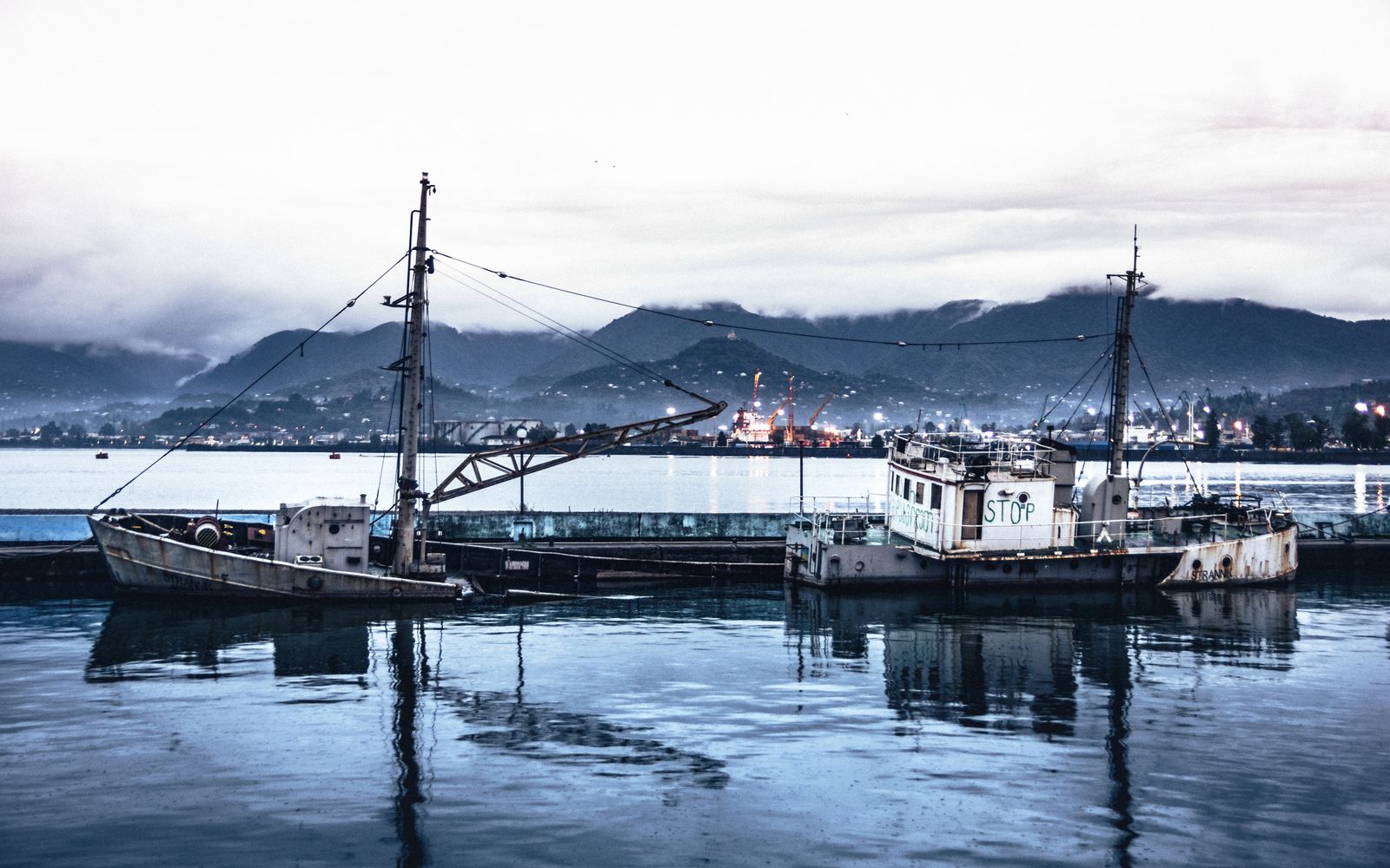
By 1990 the shrinking had cut the sea in two. A shallow bar of exposed seabed separated a northern lobe fed by the Syr Darya from a southern lobe fed by the fading Amu Darya. Rusted trawlers sat marooned on cracked salt pans miles from any shoreline. Muynak, once a port, became a museum of shipwrecks.
Why one dam, and why there
Kazakh engineers had tried before. Earlier earthworks across the strait between the two lobes were built cheaply, without proper spillways, and washed out in storms. The current structure — the Kok-Aral Dam — was built under the Syr Darya Control and Northern Aral Sea project, an $86 million effort funded by a $65 million World Bank loan and $21 million from the Kazakh government. Construction finished in August 2005.
The dam has a concrete sluice gate that releases surplus water south when the Small Aral rises above a set level. That surplus flows down into the exposed flats of the Large Aral, where it evaporates or pools in shallow lagoons. The choice was deliberate: engineers on the project concluded there was not enough Syr Darya water to fill both basins, so they picked one and walled it off.
Behind the dike the Small Aral began to refill. The shoreline moved back toward the fishing town of Aralsk, which had been stranded inland by the 1990s.
The salinity crash that brought fish back
Fish do not just need water. They need water at the right salt concentration, the right temperature, and with the right dissolved oxygen. In the 1980s the Aral’s salinity climbed past 30 grams per litre — saltier than the open ocean — and every native freshwater and brackish species vanished. The only survivor was a salt-tolerant flounder deliberately introduced by an international aid project.
Once the Kok-Aral held the Syr Darya’s flow in place, salinity in the Small Aral began falling. Project figures reported salinity dropping from around 23 g/L toward 10 g/L within a few years of closure. That is the range where carp, roach, pike-perch, bream, and asp — species native to the old Aral — can spawn and survive. Fishing lakes in the Syr Darya delta were rehabilitated as hatcheries, and stocked fry were released into the freshening sea.
The rebound was rapid because the biological engine of a lake fishery does not need decades to restart when the water chemistry is right. Migratory and semi-migratory fish can recolonise systems when conditions improve — the barrier at Kok-Aral worked by holding good water in. Give the fish habitat that matches their tolerances, connect it to a spawning tributary, and the population climbs.
By around 2014, according to Professor Sagit Ibatullin, the former chairman of the Executive Committee of the International Fund for Saving the Aral Sea, fish production in the Northern Aral had risen tenfold, from 400 tonnes a year to 4,000 tonnes. Species counts in local surveys reached into the double digits. Refrigerated fish reception centres opened at villages like Tastubek and Bogen. Trucks began running catch to markets in Aralsk and beyond.
What the villages saw
Tastubek sits on the northeastern edge of the Small Aral. In the late 1990s residents there described the sea as a rumour — a memory their grandparents talked about. By the mid-2000s the water was visible again from the village edge. Boats went back in. Households that had left for Almaty or the Russian oil fields began to return.
Economic conditions in the Kyzylorda region reportedly improved. Salt-driven respiratory and kidney illnesses that had plagued residents in the desiccation years began to ease as dust storms off the exposed seabed thinned near the northern shore.
Project officials acknowledged that while the Aral Sea as a whole cannot be restored, efforts successfully revived the northern portion.
What the dam did not fix
South of the Kok-Aral, the Large Aral has largely been abandoned to physics. The Amu Darya, once a river the size of the Nile, now barely reaches its old delta. What remains of the southern lobe has split into a shallow western strip and an eastern basin that dries out completely in some years. Salinity there runs above 100 grams per litre in places — closer to the Dead Sea than to any fishery.
The exposed seabed, called the Aralkum, is now the youngest desert on Earth, a vast expanse of salt- and pesticide-laden dust that storms lift into the atmosphere. The Times of India’s coverage of the disaster notes the far-reaching impacts of this environmental catastrophe. The dam did nothing for that. It was never meant to.
Nor did the dam solve the upstream water politics. The Syr Darya rises in the Kyrgyz Republic and Tajikistan, mountain states that want to hold water in winter to generate hydropower. Downstream Uzbekistan and Kazakhstan want it released in summer for irrigation. The rivalry has produced decades of ad hoc agreements and no durable treaty. If the Syr Darya’s flow into the Small Aral drops in a drought year, salinity in the Small Aral climbs again and the fishery contracts.
A recovery pattern seen in other rivers
The Aral rebound fits a broader pattern in freshwater ecology. When a specific barrier is removed — or, as at Kok-Aral, deliberately imposed to protect habitat — fish populations respond on timescales measured in years rather than centuries. China’s ten-year fishing moratorium on the Yangtze, imposed in 2020, has already produced measurable rebounds in finless porpoise sightings and native carp, as Courthouse News documented in coverage of the ban. On the Columbia River in the Pacific Northwest, salmon runs respond within a few generations to changes in dam operations and predator management, an issue that Congress revisited in December 2025 hearings on sea lion predation.
The counter-example is instructive. Where migratory fish are cut off from spawning grounds and no compensating habitat is created, populations collapse. WWF’s 2024 Living Planet Index for migratory freshwater fish found an 81 percent decline in monitored populations between 1970 and 2020, with dams and habitat loss as the leading drivers. Kok-Aral is the rare case where a dam appears in the recovery column rather than the loss column, because it walled water in rather than blocking a migration route.
What comes next for the Small Aral
Kazakh officials have discussed a second-phase project that would raise the Kok-Aral crest by several metres and extend the Small Aral further west, reaching toward the old port of Aralsk itself. Engineering studies estimated the cost in the hundreds of millions of dollars. Progress has been slow, tangled in the same upstream-downstream water negotiations that have dogged the basin since independence.
Meanwhile the existing dam does its quiet job. The sluice opens when the reservoir behind it climbs above design level, spilling surplus toward the southern flats. The Syr Darya, its channel improved with rebuilt waterworks that raised irrigation supply for about 16,000 hectares of Kyzylorda farmland, carries snowmelt down each spring. Fish spawn in the delta wetlands and in the shallow bays near Tastubek. Trucks come and go from the reception centres.
Editorial coverage on this beat has previously looked at how single natural features can run on timescales that dwarf human intervention — a natural fission reactor in Gabon that pulsed for hundreds of thousands of years, for instance. The Aral story runs the other direction. A decision made in Moscow in the 1960s emptied a sea in 40 years. A dam built in Kazakhstan in 2005 refilled a corner of it in ten. The scales at which humans wreck and repair water bodies are, it turns out, similar. What differs is which decision gets made and who is standing on the shore when it takes effect.
On a still morning at Tastubek the Small Aral looks like any northern lake — grey water, gulls, a low horizon of reeds. The salt pans that made the sea a byword for ecological disaster begin a few dozen kilometres to the south, past the concrete sluice, where the water the dam does not hold runs out into the desert and disappears.